
Why Public Transit Beats Other Options More Often Than You'd Think
Renting a car feels like the safe default in an unfamiliar city, but it frequently adds costs — parking fees, fuel, insurance, and navigation stress — that public transit sidesteps entirely. In many major cities worldwide, metro and bus networks reach neighborhoods that rideshares struggle to price competitively for short hops. Understanding how to use these systems confidently is one of the highest-value skills a traveler can develop.
For a broader comparison of ground transport tradeoffs, see our guide to trains, buses, and rideshares. This article focuses specifically on navigating city-level public transit systems once you've arrived.
Core Practices for Using Transit in an Unfamiliar City
The following practices cover the decisions that most commonly trip up travelers — from purchasing fares correctly to staying oriented underground.
Get a reloadable fare card as soon as you arrive at the transit hub or airport station.
Single-use tickets are almost universally more expensive per trip and require queuing at machines repeatedly. Fare cards also simplify transfers across buses and metro lines on the same journey, often automatically applying discounts the paper ticket system doesn't offer.
Download offline maps and the city's official transit app before you lose reliable data access.
Data connectivity is unpredictable underground or in dense urban neighborhoods, and roaming charges can escalate quickly. Offline maps eliminate dependence on a live signal for basic navigation, while official transit apps surface real-time delays that general mapping tools like Google Maps or Apple Maps sometimes miss.
Travel outside peak rush hours whenever your itinerary allows.
Rush hour — typically 7–9 a.m. and 5–7 p.m. on weekdays in most cities — brings crowding that makes it harder to read signage, easier to miss your stop, and physically uncomfortable if you're carrying luggage. Off-peak travel is calmer, faster to board, and reduces the chance of errors.
Learn the zone structure of the transit system before purchasing any fare.
Many city networks divide service into concentric fare zones, and purchasing a ticket for the wrong zone — either too few or too many zones — causes delays at barriers or results in an unexpected fine. Understanding whether your destination is within the base zone or requires an extended fare takes under two minutes to check.
Screenshot or photograph key route information for offline reference.
Even with offline maps, specific platform numbers, timed connections, and last-service times aren't always visible without a signal. A quick screenshot of your planned route — including the specific line, direction, and transfer points — acts as a reliable backup that doesn't require any connectivity.
Quick-Start Actions Before You Board
Most transit mistakes happen before a traveler even touches a turnstile. A few targeted actions in the 24 hours before arrival remove the majority of friction.
Connectivity is a prerequisite for many of these steps. If you're traveling internationally, review your mobile data options before departure so you're not relying solely on Wi-Fi.
Reading the System: Maps, Zones, and Signage
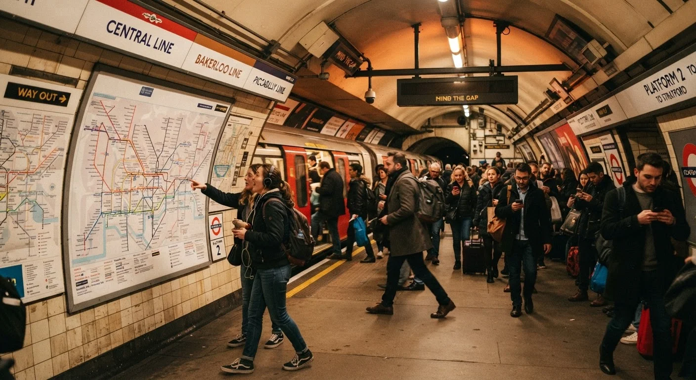
Every transit network has its own internal logic — color-coded lines, numbered zones, end-of-line destination names used for direction — and learning that logic early pays dividends throughout your trip. Spend ten minutes with the official system map before your first ride rather than improvising underground.
Most systems use terminus station names (the last stop on a line) to indicate direction. If you're boarding a train and can't tell which platform is correct, look for the terminus name that matches the direction you want to travel. When in doubt, ask a station attendant — most major transit systems have staff trained to assist non-local riders.
Signage is usually standardized within each system, but international travelers should note that some cities use pictograms while others rely on text. Familiarizing yourself with exit symbols, transfer indicators, and accessibility markers before you arrive reduces the cognitive load in the moment. The same wayfinding principles that apply in airports transfer reasonably well to metro systems.
Transit costs should also feed into your broader trip budget. Our daily travel budget guide walks through how to estimate transport costs realistically alongside accommodation and food.
Transit schedules, fares, and system rules change periodically. Always verify current information through the official transit authority's website or app before traveling, and check relevant government travel advisories for any destination-specific considerations.